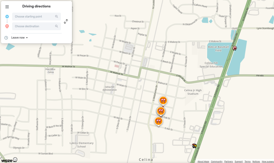
The city of Celina entered a strategic partnership with the Waze for Cities Data Program to enhance urban mobility and improve road safety.
The collaboration, which integrates real-time data from Waze with the city’s own information on construction, accidents and road closures, aims to reduce congestion and better serve residents with up-to-date traffic insights.
Through this partnership, Waze provides Celina with anonymous incident reports and slowdown information sourced directly from drivers, while the city contributes its data on road conditions, enabling quicker updates and better traffic management. Notably, full-time closures reported by city staff are now reflected on Waze Maps within minutes, ensuring that residents have access to accurate and timely information.
Residents are encouraged to use the updated road closures map to check on current lane closures and the Waze live map for real-time updates, helping them navigate the city more efficiently.
Don't miss anything Local. Sign up for our free newsletter.


