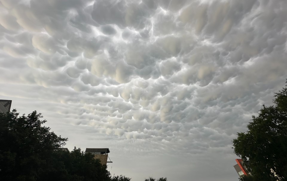
If you were outside on the evening of June 2, 2024, you might have looked up to notice some strange clouds over several North Texas counties including Dallas, Denton and Collin County.
According to Met Office, these clouds, known as mammatus, are distinctive pouch-like formations that hang beneath the base of a cloud. Typically associated with cumulonimbus clouds that generate powerful storms, these clouds generally form during the warmer months. Mammatus clouds develop from descending air within the cloud.
Yesterday evening, the clouds were spotted after large storms throughout North Texas. Hail and flooding was reported in some areas of the region.
Usually, turbulence within a cumulonimbus cloud causes mammatus to form, particularly on the underside of the projecting anvil as it rapidly descends to lower levels. This reversal of the usual upward cloud formation process results in an uneven cloud base.
Mammatus clouds typically form in highly unstable cumulonimbus clouds, indicating a likelihood of hail, heavy rain and lightning nearby. In winter, if the air is cold enough, they can also produce snow. Although rare, mammatus clouds can sometimes form on other cloud types that do not produce rain such as stratocumulus, altostratus and altocumulus.
If you weren’t able to see them, don’t fret. More storms are expected to pass through parts of North Texas on June 3, 2024. If you’re lucky, the clouds could make a return.
Don't miss anything Local. Sign up for our free newsletter.


