Strong winds from yesterday’s storm and an unconfirmed tornado reportedly lifted a car in the parking lot on UNT's Frisco campus, near Preston Road.
The Frisco Fire Department reported at 6:44 p.m. sirens were sounded as storms carrying two-inch hail and harsh winds approached. A second and third siren was sounded around 7 p.m., as a potential tornado touched down at Collin College Frisco campus in the parking lot.
According to WFAA, Noel Hernandez was inside a campus building when the unconfirmed tornado passed through the area. Despite not hearing or seeing anything, a coworker informed him that his vehicle had been lifted by the force of the unconfirmed tornado, causing it to overturn.
“The car lifted, and it rolled over,” Hernandez told WFAA. “When I came out, I thought a man wrecked into me. He was parked nearby, but he was just a storm-chaser. He filmed everything.”
Officials from the National Weather Service, having reviewed social media footage on Friday morning, characterized the storm as a reported tornado. However, they were still assessing the damage in the vicinity before officially confirming the tornado and assigning an EF rating.
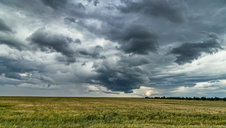
The National Weather Service (NWS) in Fort Worth first issued a Tornado Warning for Northern Collin County in north central Texas and Southeastern Grayson County in north central Texas on March 14, 2024.
At 7:22 p.m., a severe thunderstorm capable of producing a tornado was identified near Melissa, 8 miles north of McKinney, moving northeast at 25 mph, but winds were predicted to reach near 70 mph.
The hazards included tornadoes and golf ball to tennis ball-sized hail. Radar indicated rotation as the source. Officials warned the impact could include dangerous flying debris for those without shelter, damage or destruction to mobile homes, roofs, windows and vehicles, as well as likely tree damage.
A severe weather warning remained in effect until approximately 12 a.m.
According to the NWS, a strong cap delayed thunderstorm development until late afternoon. Once the cap broke, the storms formed along and ahead of a southward-moving cold front. The severe weather threat was predicted to decrease overnight as storms moved deeper into Central Texas.
Don't miss anything Local. Sign up for our free newsletter.


